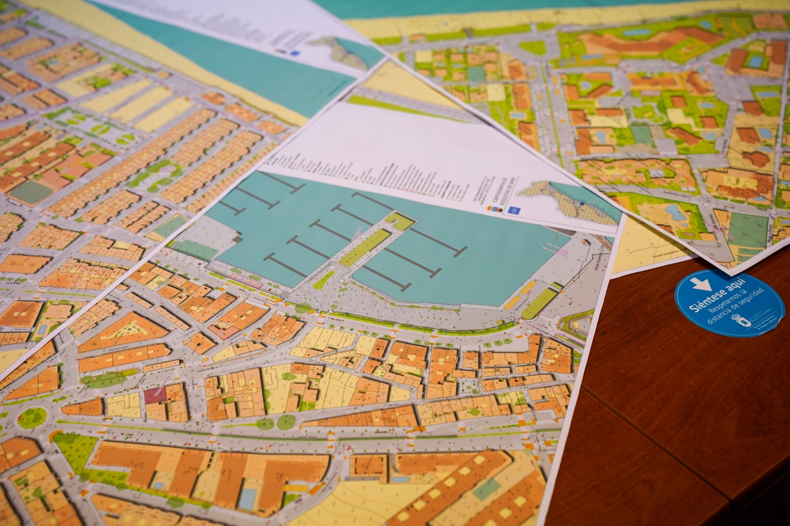
Roquetas releases its high-precision cartography for free download
The Roquetas de Mar Town Council opens free access to the Urban Topographic Base and the Municipal Topographic Network.
AlmeríaYa newsroom ·
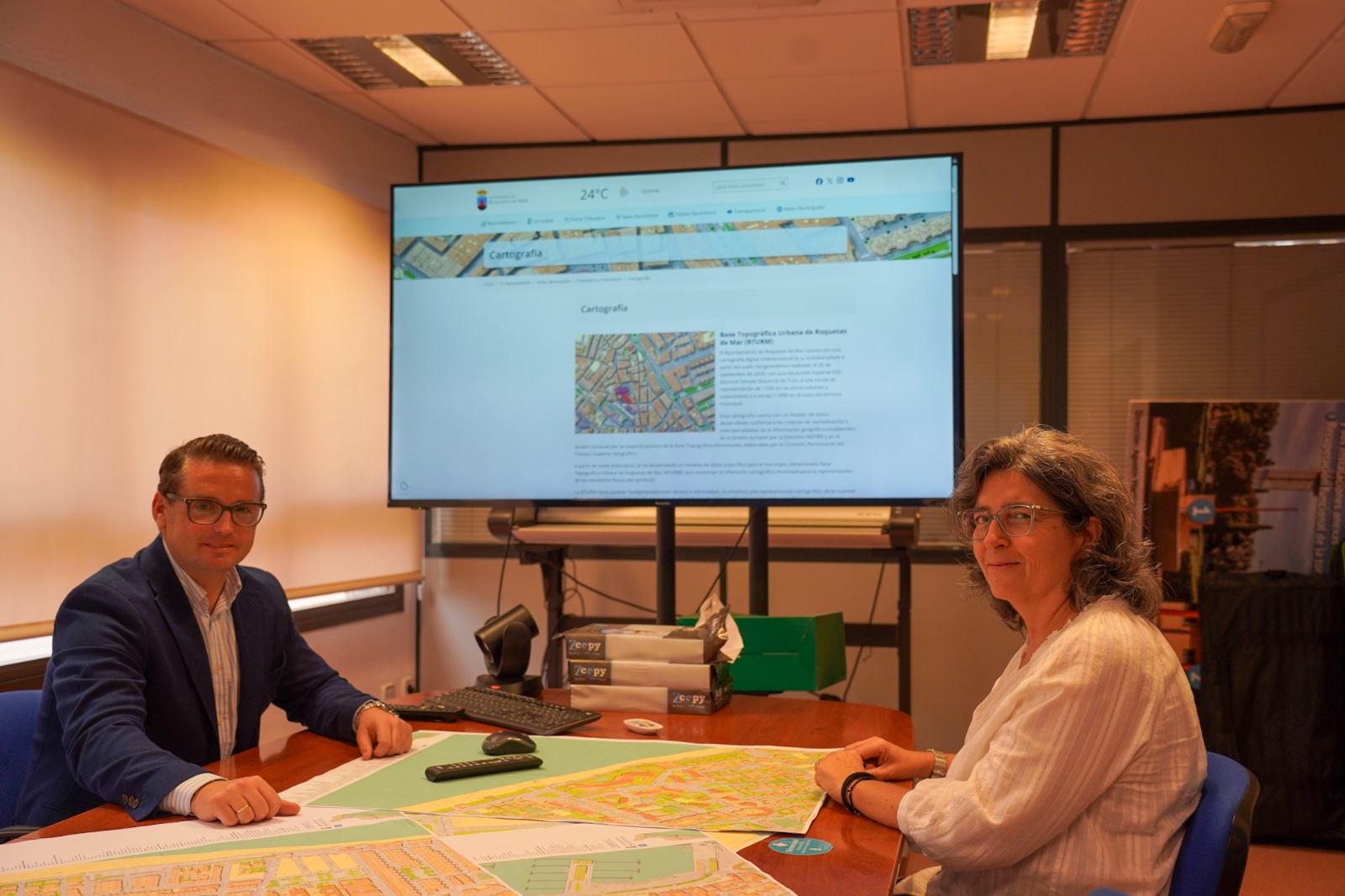
Anyone can now download the high-precision cartography of Roquetas de Mar free of charge. The Urban Planning Department has released the Urban Topographic Base (BTURM) and the Municipal Topographic Network (RTM), two tools intended for architecture, engineering, surveying and urban planning work, but also open to anyone who wants to consult them out of personal interest.
The cartographic base represents the physical elements of the municipal area in great detail. It was produced from a photogrammetric flight on September 26, 2020, with a spatial resolution of seven centimetres. The scale is 1:500 in urban and developable areas and 1:2,000 in the rest of the municipality.
The data follow the European standardisation and interoperability criteria of the INSPIRE Directive and the national specifications of the Harmonised Topographic Base, which allows them to be used in different professional programs. They can be downloaded in formats common in the technical sector, such as Shapefile (SHP) and DWG, within compressed ZIP files.
A network of reference points
Alongside the cartography, the Municipal Topographic Network is published, the infrastructure that serves as support for surveying, updating and maintaining the municipality's maps. It is organised in two levels: a primary network, linked to the national geodetic networks and extending across the whole municipal area, and a secondary network, with more reference points in urban areas. The survey markers are permanent and installed on stable elements of the terrain. The reference system is ETRS89, with UTM projection, zone 30.
The councillor for Urban Planning, José Luis Llamas, has stated that «transparency also means providing useful tools and data so that citizens, technicians, professionals and companies can better understand our municipality».
The Urban Planning Department warns that the base is technical and informative in nature: it reflects the physical reality of the municipality on the date of the flight and does not by itself establish urban planning determinations, does not certify legal property boundaries and does not create obligations for private individuals.
Available downloads
The files can be downloaded freely from the municipal website:
Shall we let you know what matters?